Hurricanes in Asheville
I started this blog a few weeks ago with the intention of focusing on politics and issues in higher education. As a resident of Asheville, North Carolina, though, I've discovered a sudden, strong interest in hurricanes since Hurricane Helene hit.
I'm happy to say that I, and those closest to me, are safe and secure. Having seen it firsthand, though, I can say that the devastation in Asheville is truly terrible. We are currently displaced and I'm writing this from my sister's home in Ohio.
Hurricane frequency
As of Helene, a total of 15 hurricanes have passed within 100 kilometers of Asheville since the World Meteorological Organization started naming storms in 1950. The timeline below shows when those hurricanes hit. You can use standard gestures on your device to zoom into the timeline and you can hover over or tap the names of the hurricanes to get more information. When you do so,the hurricane's path should be highlighted on the map below.
The map is also interactive. You can zoom and pan to explore and you can hover over a hurricane path to identify it.
The point behind the timeline is to illustrate that the frequency of frequency appears to be increasing with 9 of them in the last 21 years and only 6 in the half century prior to that.
The media
Asheville and all of Western North Carolina has received an incredible amount of attention from the national news media in response to Hurricane Helene and rightly so, given the scope of the disaster and broader climate implications. There have been a few observations made by the media that seem just a bit off to me, though, as a local resident.
Climate haven??
The Climate Forward newsletter from the NY Times on Oct 1 indicates that
Asheville has long been described by some news outlets as a
climate haven,or a place that’s safer from climate change.
I'm quite sure that's true and the article does offer a good deal of support, such as interviews with new residents and an official report indicating that Asheville is ready for the next hurricane.
Having said that, I would characterize this attitude as a willful ignorance that intentionally ignores clear evidence of obvious threats. Some of this evidence is data based, such as the increasing frequency of hurricanes, as we see here, or ever rising average temperatures.
As a resident of Asheville, though, much of the evidence is just plain to see. The Climate Forward article, for example, states that
It [Asheville] doesn’t experience the wildfires that are common in parts of California
While the Appalachians are certainly much more lush than the west, we still have plenty of forest fires most years. The most prominent example of this was in 2016 when nearly 20,000 acres burned in the Smokies killing 14 people in Gatlinburg.
Flooding
In spite of Asheville's claim that it's "ready for the next one", the fact is that modest flooding has been a common occurrence. A hurricane is not at all necessary for this - just heavy rain that's typical in the Spring. This is particularly true in the River Arts District (which was featured in the NY Times as described in the scrollyteller map below.
MapLibre | OpenFreeMap © OpenMapTiles Data from OpenStreetMap
Scroll for commentary.
Data
The hurricane data comes from resilience.climate.gov. It's historical data so I don't have the path data for Helene. The data extends back to 19th century, in fact, including a cluster of storms in the early 1900s, like the hurricane of 1916. It's not clear to me, though, how reliable the path data from over 100 years ago could be.
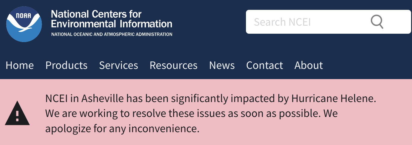
I'd love to incorporate rainfall data as well. Ironically, though, the best rainfall data is housed in Asheville and is currently unavailable.
Comments
Anyone with a Mastodon account can make a comment. You can read more about that in my description of Mastodon and the commenting system.